A Tourist Map of Berlin 1
Berlin, March 23, 2013
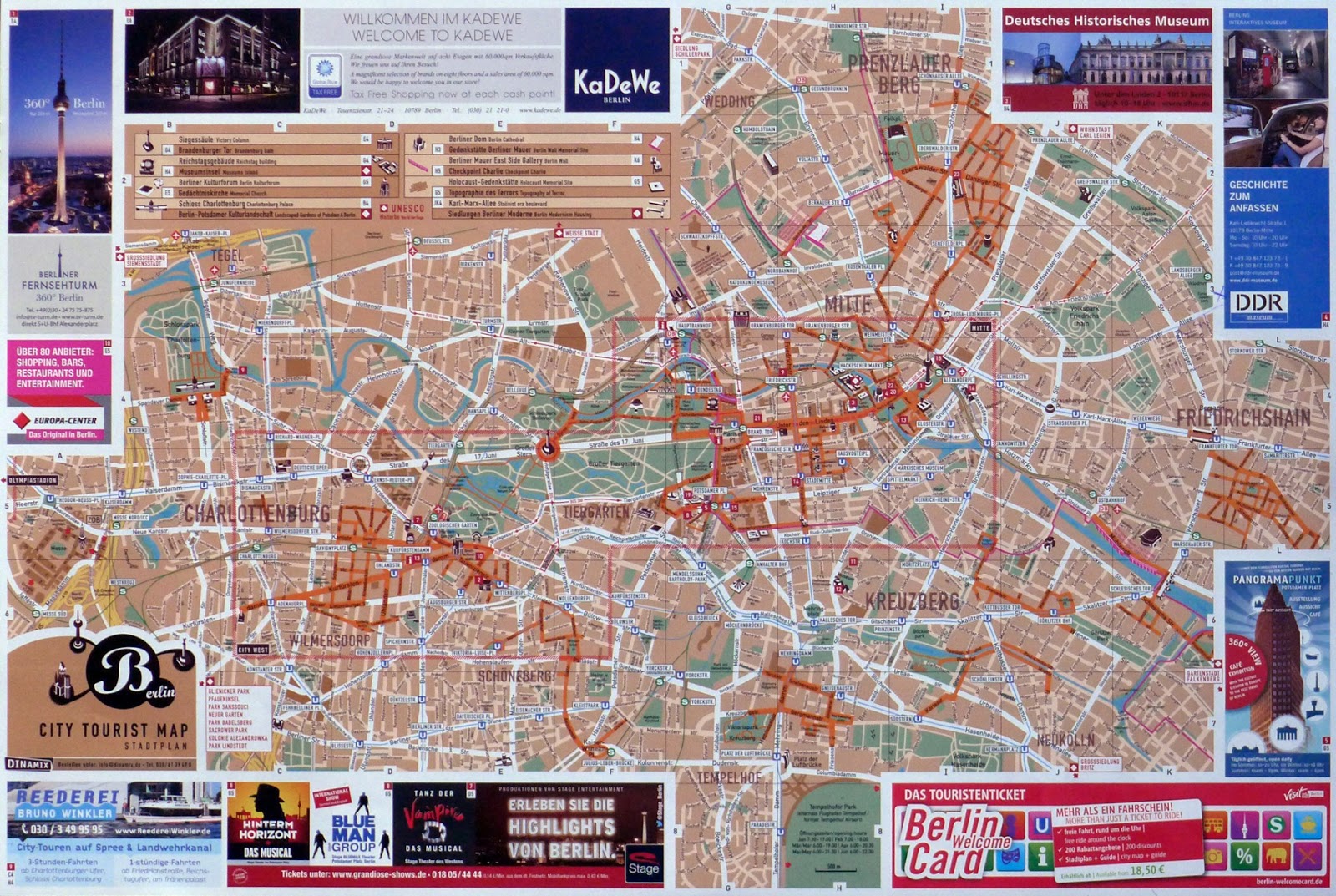
I just arrived to Berlin this morning. On the tourist map I got at the airport, the city doesn't appear to have any limits other than the ads around the edge of the sheet. Prominent at the center is the elongated green figure of the Tiergarten. It is bisected by a major straight line labeled "Straße des 17. Juni". Smack in the middle is a circle of with the Victory Column drawing in elevation. The Spree River meanders in a curling blue line more or less parallel to the Straße des 17. Juni.
In earlier maps of Berlin, the Tiergarten appeared typically not in the middle but way to the left, reserving the center of the drawing for the historical core of the city, let's say between Parisier Platz with its Brandeburg Gate and Alexanderplatz with its Soviet-era TV Tower. Both landmarks are easy to recognize since they are also drawn in elevation. If you focus on this area to the east of the Tiergarten and squint your eyes, you can begin to recognize two distinct fabrics: the more circular pattern that corresponds to 17th century Berlin Fortress with its island in the middle, and the orthogonal grid of Unter den Linden and Friedrichstrasse.
At the other end of the Tiergarten, to the southwest, Kurfurstendamm and the Zoologischer Garten train station mark what was the center of Cold-War West Berlin when the wall divided the city.
(I must confess that I love this kind of cheap, often free, tourist maps!)

