More than fifteen centuries earlier, the “Forma Urbis Romae” made one of the first attempts, if not the first, to map the imperial city.
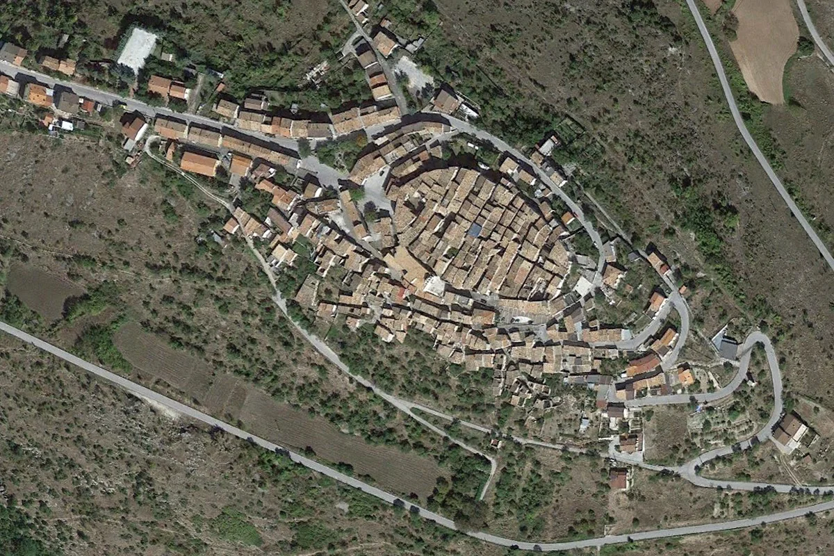
Read MoreThe urban structure of settlements on mountains and hills typically follow the “lay of the land”. Take for example the towns in the Baronia de Carapelle on the Abruzzo region of Italy.
Read MoreWalking the narrow streets of Castelvecchio Calvisio--the small town on the Apennine Mountains of Abruzzo--one is immediately struck by the proliferation of stone stairs rhythmically projecting out from the façade of the buildings.
Read MoreGiambattista Nolli oriented his celebrated 1748 map of Rome with north up, a modern, carefully chosen cartographic convention, one that we still use today.
Read MoreIn the Middle Ages, European world maps were drawn orienting east up. Actually, that's where the word orientation comes from, oriens, Latin for east.
Read MoreSome open spaces in the city are voids left by the structures around them. Others are figural spaces defined by the surrounding buildings.
Read MoreMies van der Rohe’s Villa Tugendhat in Brno is undoubtedly one of the canonical masterpieces of Modern Architecture.
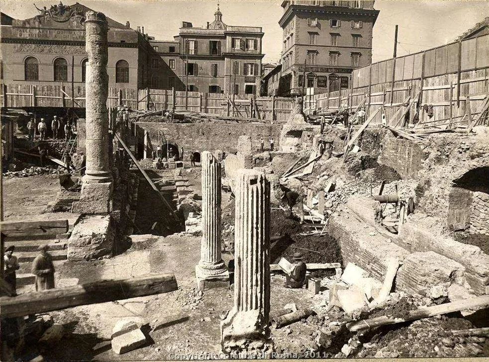
Read MoreWalking through Rome you continuously encounter antiquities amidst the contemporary fabric of the city.
Read MoreIn order to remember the names of Rome’s seven hills, Victorian school children used to memorize a rather silly phrase--Can Queen Victoria eat cold apple pie?--where the first letter of each word stood for the name of each of the hills.
Read MoreIf you look carefully at a map of Berlin dated any time after 1814 you can see how the city was at the very center of Napoleon's path, midway between Paris and Saint Petersburg.
Read MoreBesides their city palaces, sometimes kings, emperors and other rulers had a second seat of power, typically summer palaces.
Read MoreIt is particularly interesting to see the different way in which the two major cities relate to their geography.
Read MoreIn earlier maps of Berlin, the Tiergarten appeared typically not in the middle but way to the left, reserving the center of the drawing for the historical core of the city, let's say between Parisier Platz with its Brandeburg Gate and Alexanderplatz with its Soviet-era TV Tower.
Read MoreAfter the war, Berlin was in ruins and its reconstruction became the first--and no doubt foremost--exercise in Cold War urbanism.
Read MoreNot long after the end of the Thirty Years' War (1618-48) Berlin embarked in the construction of massive defensive system of walls and bastions in the star-shaped Renaissance manner.
Read MoreThere is a beautiful 1737 map of Berlin that depicts the city during the rule of Frederick William I.
Read More


